Showing posts with label landscape painting. Show all posts

Thursday, September 30, 2021

La Noria de Santo Pantaleón 

Sombrerete, Zacatecas

– A Mining Ghost Town -


“If you were an eagle soaring in the restless mountain winds, you would spy a town below, its ruins clinging to the craggy slopes.  You would see old walls, strange, conical formations-and a tiny, orange chapel.  This is an old, ghostly mining town called La Noria de Santo Pantáleon”. 


Resting in the notch of a low mountain just to the northwest of Sombrerete is the abandoned, mining ghost town (pueblo fantasma) of La Noria de San Pantaleón.  Well, it’s not quite abandoned, as about 20 families, mostly descendants of the original miners, returned to re-occupy some of the long-deserted casas that once comprised the now tiny community. (The town reached a population of 5000 in the early 20th century).  The old 16th century Spanish Colonial gold and silver mining town sets at an altitude of around 8,700 feet (2,684 meters).  The community now consists of scattered casas and tiendas, a church (Templo San Pantaleón) with a convent attached, a tiny chapel, and a few, small civic buildings.  On the nearby mountainside sets the remains of old mining structures, and curious, conical structures long ago deposited by the excavated material from the mines bored into adjacent mountains. (The material was deposited by large containers suspended by cables). The (four) huge conical piles gradually solidified into solid structures that appear like extra-terrestrial creations.  On the top of a nearby ridge is an observation tower built by the local population.  “La Noria”, as it is called, is a curious place with intriguing beauty, and most worthy for exploring, painting, and photographing. 


Sketch map of La Noria´s central garden, watercolor by author. 


During my visit there with the Director of the Tourism Office, I manage to measure and sketch the centrally located plaza edged by a small church and abandoned structures. Next to the church is a small garden (jardín) with a gazebo (kiosco) in its center.  I quickly concluded that this magical pueblo fantasma deserved a place in this book.  I highly recommend spending time here.  The community is small and very safe. 


Vista (watercolor) of La Noria.

Be sure to bring a picnic lunch and plenty of water.  La Noria is about a 20-minute taxi ride from Sombrerete´s historic center.  Because of its high altitude, dress accordingly. 


A Casa in La Noria, oil painting by the author. 


La Noria de Santo Pantaleón will be include in my upcoming book, Painting Mexico: Sombrerete. 

Saturday, June 1, 2019

Nochistlán, ZAC, a Pueblo Mágico

Nochistlán de Mejía, A Pueblo Mágico

The road to Nochistlan, a narrow, rolling ribbon of asphalt, follows a broad valley with undulating mountain ridges appearing on both sides.  Villas, haciendas and roadside stands dot the roadside, often appearing at unexpected intersections as the swaying bus rounds a bend in the road.  The bus stops often, seeming to trade one passenger for another.  A woman climbs aboard and sits up front on an inverted bucket and chats animatedly to the driver.  They are surely old friends….

Nochistlán's Historic Center. 


One of several lovely churches...

Nochistlan de Mejía, a remote pueblo built to sustain the nearby area of farms and ranches, occupies a broad ridge that slopes into a surrounding valley.  Hazy, grey-green mountains frame the town.  Nochistlán, laid out with narrow, gridded streets that are lined with low building built from the stone of local quarries, the earthy colors and painted stucco providing harmony and charm to visitors and locals, alike.  Nochistlán is located in semi-arid mountainous southern Zacatecas. 

j.k. Hannula: Illustrative Plan of the Historic Center, graphite & watercolor on Arches Paper,  22 x 30" , 2018 c.

Nochistlan offers us the opportunity to paint:

* townscapes
* park and garden scenes
* farms, animals and farmland
* mountain-valley landscapes
* themes & studies

A Portale (covered walkway)..

This alluring pueblo is a 3-hour bus ride south of the capital city of Aguascaliente; Nochistlán’s bus station (central de autobuses) is on the edge of town, a 5-minute taxi ride to the historic center, where you’ll find hotels and a vibrant town life.

The Captivating Indigenous Village of Toyahua

Nochistlan has three main areas of interest for artists: the historic center (centro historico), an art walk (Ruta de Vistas), and an indigenous village, Toyahua de Abajo, located about 15-kilometers from town.  

A Lane in Toyahua

Waterfall near Toyahua

An Acquaduct 

The Central Garden (Jardín Principal) 

The Author ( R) with a local restaurant owner
I plan to include Nochistlán in a future book on Painting Mexico.  To see additional photographs of Nochistlán, see an album on my Facebook Page.

Saturday, May 18, 2019

Calvillo, Aguascalientes, Pueblo Mágico

Calvillo, Aguascalientes


If you head northward from central Mexico, roughly following the famed Camino Real (the “Silver Route”), you’ll pass near the enchanting town of Calvillo.  An official Pueblo Mágico, Cavillo occupies a broad valley just over a mountain range to the west of the Capital City of Aguascalientes.  Calvillo is more than a town-it’s a municipality that includes a broad region of mountains, forests, and lakes that include waterfalls and recreation areas. Small villages dot the countryside like jewels in a little garden. 
 
Illustrative Plan, Plaza Principal, Calvillo

Bandstand (kiosk), Plaza Principal, Calvillo 

Calvillo will appear in one of my future ‘”Painting Mexico” books. It is a magical town ideal not only for its beauty (landscape painting and photography), but also for hiking, camping and enjoyment of its culture…foods, handicrafts, parades and other events.  I highly recommend camping on the lake near the village of Malpaso, a 20-minute ride from central Calvillo. Here at this picturesque, mountain surrounded lake, you'll find cabins (casitas) for rent, as well as hotel rooms and a few lakeside restaurants. (I spent several days in one of the casitas, as shown in the lake view below).  One could easily spend an entire summer painting in this one location. 

The Lake, la Presa de Malpaso. 
The nearby village of Malpaso also offers many painting opportunities.  Tucked in a narrow agricultural valley, the town has dozens on paintable locations, including the plaza principal and the streets that extend from there.  Below is a map/plan that I made of this plaza.  The arrows show the locations for making great paintings. 

Illustrative Plan, Plaza Principal Malpaso, Cavillo
View of the Church, Community of Malpaso
In the mountains about 20 miles west of Calvillo is a conservation area known as la Sierra del Laurel.  Here, you'll find a lake from which spills a spectacular waterfall, with a cave at its base (see photo below).  There are several rentable casitas at the edge of this lake, an alluring place to relax, hike and paint.  

The lake on la Sierra del Laurel. This scenic lake is a painters' paradise. 

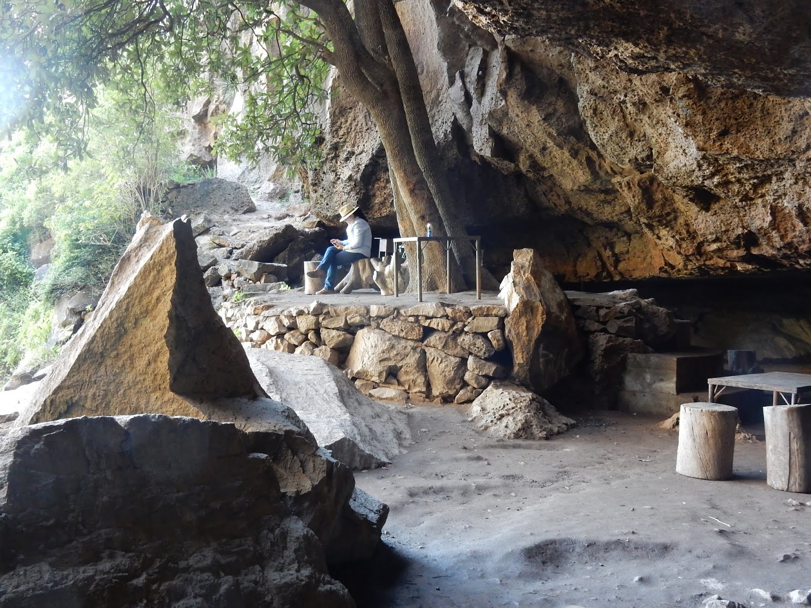
View of a Cave at the Waterfall (la Cascada), located about 25 miles west of Calvillo  Centro.

Thursday, April 25, 2019

The Camino Real (The "Silver Route")

Mexico’s Camino Real, the “Silver Route” 

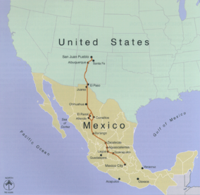
Mexico’s has an historic route called the Camino Real or, more formally, the  “Camino Real de Tierra Adrentro” (“Royal Road of Interior Land”), a commercial route that extended from the Valley of Mexico to Sante Fe, New Mexico (16th – 19thcenturies).  The route, then a trail traveled by foot, horses and wagons, included many outposts –forts, haciendas and chapels- to protect the Spanish travelers from attacks by indigenous peoples, especially the Chichimecas.  The route was also called La Ruta de la Plata (“The Silver Route”), because it followed a chain of volcanically formed mountains where minerals such as silver, gold, copper, turquoise and salt were mined.  The 2,560-kilometer (1600-mile) route, now an UNESCO World Heritage Site (Patrimonial Mundial), has 59 historic points along the way.  

CaminoRealAdentro.png

This route was well established by indigenous kingdom and tribes long before the Spanish arrived in the 16thcentury.  Elcamino, used for hunting and trade, connected important locations in Meso-America and the Rocky Mountains by the year 1000. The route follows the long, rugged Sierra Padre Mountain chain, emblematic of the breathtaking “Western” landscape.  

El Centro Historico, San Miguel de Allende
Many of the pueblos in this blog or in my book projects are either directly on el Camino  (Guanajuato City, San Miguel de Allende, Sombrerete) - or were functioning offshoots, such as Dolores Hidalgo, Mineral de Pozos, Calvillo, Real de Asientos, Pinos and Nochistlán.  The adjacent off-shoot towns provided essential services for mining and traveling on the Camino Real, such as security out-posts, banking, supplies and food sources like ranching and farming (San Miguel de Allende, Dolores Hidalgo).

Sombrerete, a Pueblo Mágico on El Camino Real
 
Many of these pueblos have historic Camino Real sites and structures such as churches, bridges, cemeteries, mines, aqueducts, etc.. El Camino now consists mostly of highways and roads that connect or link the recognized sites and structures.  Many of these sites are fascinating and scenic subject matter for painting or photography.  I urge you to visit them. 

The Historic Church/Convento, Atotonilco (San Miguel de Allende)

 My current residence in San Miguel de Allende is on the official route; and several painting locations in my book are Patrimonial Mundial sites. I intend to emphasize, whenever feasible, these captivating sites in future writings. 

Pinos, Pueblo Mágico-an Old God & Silver
Town. 
The follow link summarizes the Camino Real clearly and succinctly: 
https://en.wikipedia.org/wiki/Camino_Real_de_Tierra_Adentro

Monday, April 15, 2019

The Sierra Gorda Mountains: A Scenic Route

The Sierra Gorda Mountains of Mexico 

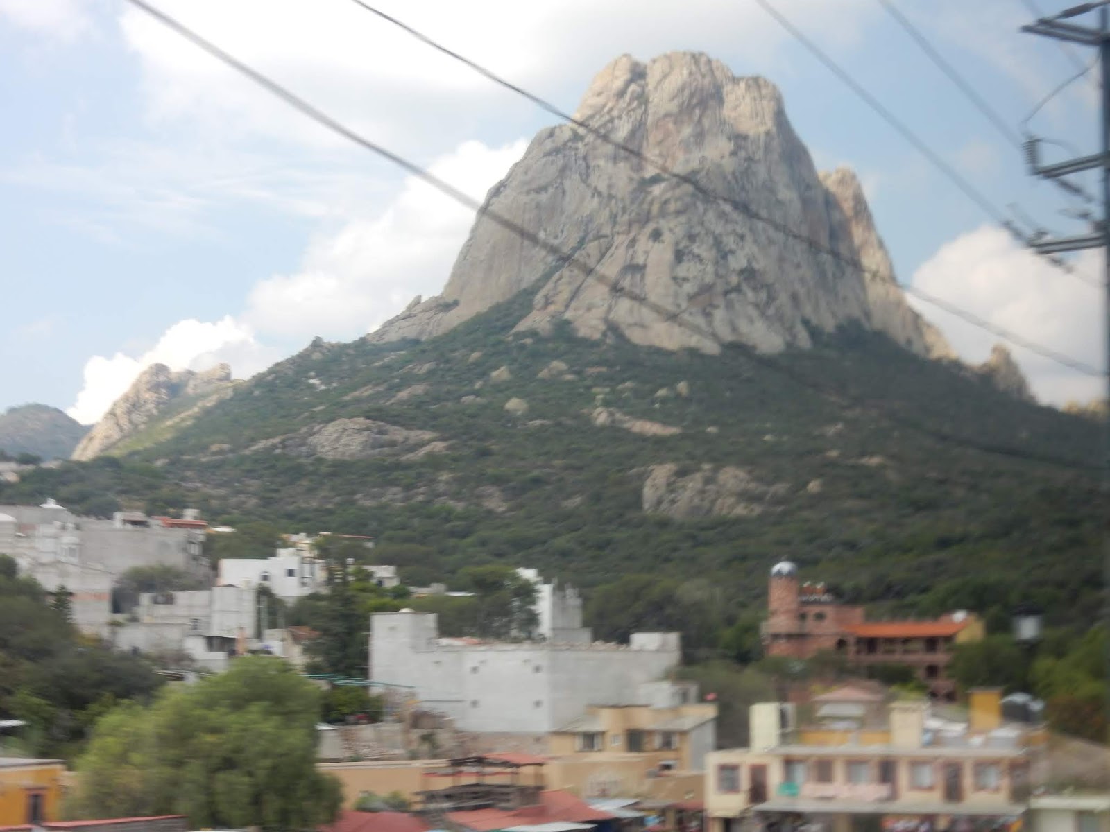
The pinnacle of Bernal. This is the second highest monolith in North America.
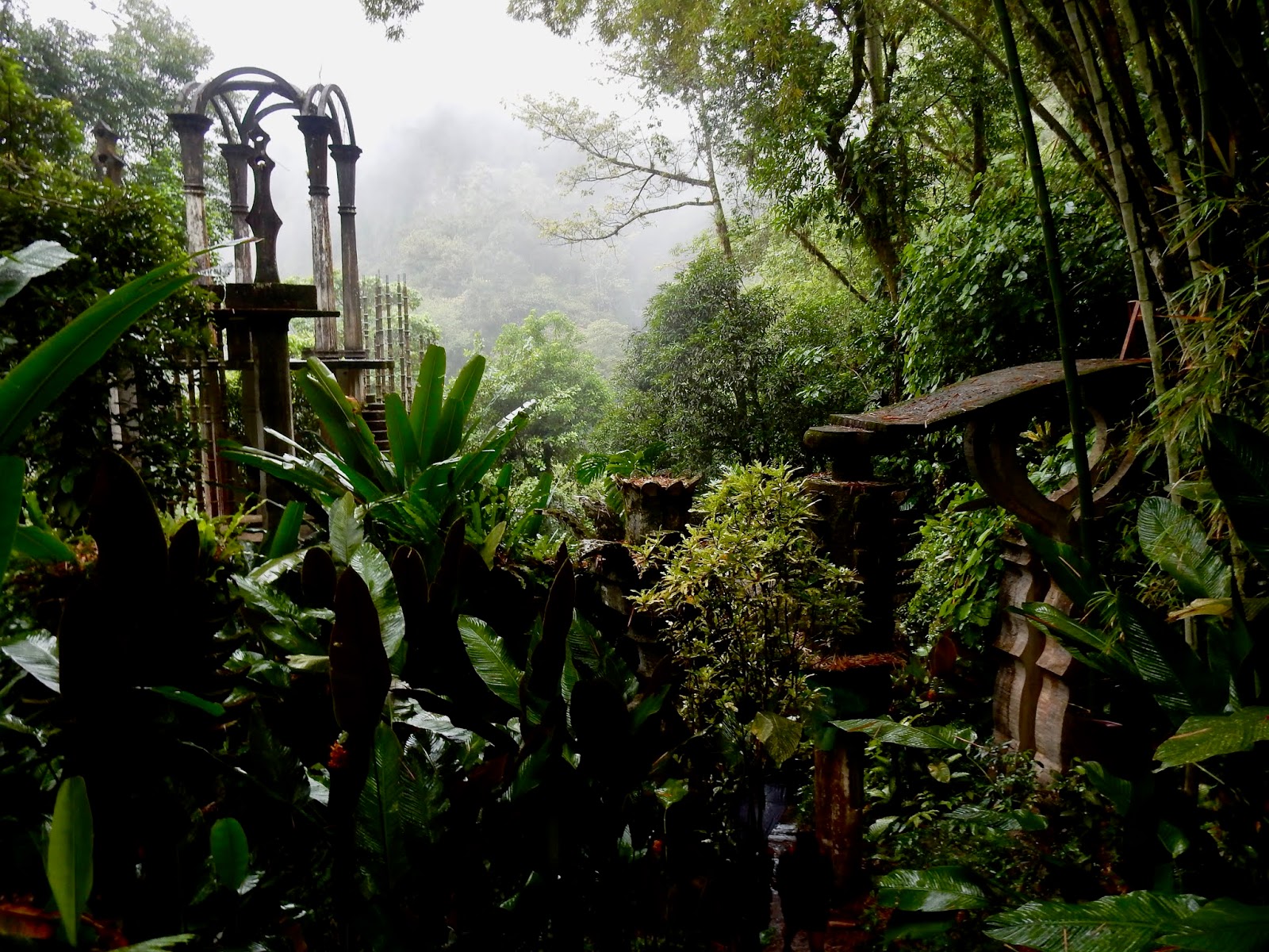
 I recently returned from a research trip to many towns in the Sierra Gorda Mountains in the State of Querétaro in central Mexico in a region a few hours north of Mexico City.  The trip was rewarding because I “discovered” a number of pueblos and communities that deserve coverage in another book. The places are (from west to east): Bernal de Peña, Piñal de Amoles; and Jalpan de Serra, a town with a group of five Spanish Franciscan Missionary churches (misiones) that are, collectively, a United Nations World Heritage Site(s). From Jalpan, I took a quick trip to Xilitla where Sir Edward James’s incredible garden is the main attraction. Bernal, Jalpan and Xilitla are official Pueblos Mágicos. Together, these places provide a plethora of scenic beauty and historic charm for visual artists and architects, a region where one could spend a lifetime documenting the beauty. I will write about each individual town in more detail in future postings. 

A view of Pinal de Amoles
The Sierra Gorda Mountains are a sub-region of the famous Sierra Madres Oriental, a mountain chain that runs north-south through eastern Mexico. They were formed by a combination of tectonic plate buckling, along with volcanic forces.  As such, the mountains are rugged, varied and panoramic. The area I explored was on the eastern slope of the Gorda where increased rainfall produces lush, sub-tropical topography. All of the above towns and places are located in these breathtakingly picturesque mountains. 

La Parroquia, the church that is the focal point of Pinal.

My research trip took several weeks.  I traveled by public transportation the whole way.  This includes a luxury bus (Primera Plus bus line) from the City of Querétaro to Jalpan; then regional bases and vans (that stop frequently), and a small car driven by my licensed tour guide to visit the mission churches scattered among Jalpan’s surrounding mountains.  Travel time from my origin, San Miguel de Allende, to Jalpan de Serra takes around 6.5 hours (that includes changing buses in the City of Querétaro). 

The Mission Church, Jalpan de Serra.
The road to Jalpan and Xitlia twists through the dense mountains, including heart-pounding hairpin curves edged with cliffs that plummet into canyons below.  (Because of the scenic, pulse-racing drama, this route is popular for motorcycle touring). By mistake, I got of the bus in Pinal de Amoles-early and unplanned-due to confusion on my part.  This was a delightful surprise because, standing at the bus station off the narrow road, I saw spectacular views and decided to stay for a couple of nights on my way back. This rewards my philosophy of finding such places that are “off-the-beaten-path”.

This author map-making at a Mission church.

This posting is just a teaser to explore this scenic route.  I plan to write about each town and place in more detail in future postings.  Adios!       4-15-2019

A view in Sir Jame's garden, Xilitla.


Monday, April 1, 2019

Dolores Hidalgo, Pueblo Mágico

Dolores Hidalgo, Pueblo Mágico

The road from Guanajuato to Dolores Hidalgo climbed steadily, looping around old, sun-bleached buildings, craggy outcrops and groves of weather beaten oaks. The bus that stopped frequently to pick someone up, or drop someone off. Country music blared from the speakers (when the reception was good), but often faded into silence.  Vistas opened and closed like the parting of curtains as we wound through the mountain passes …”  [journal entry Jan 15, 2016]
 
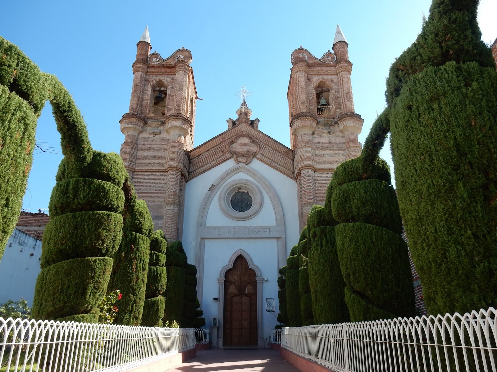
La Parroquia Church. Jardín Principal
If you ever wondered what an authentic modern-day ranching town is like (or not like), Dolores Hidalgo may fit the bill.  A town located in a broad, flat valley in central Guanajuato State, Dolores Hidalgo is considered the “heart of Mexico”, as this is where the insurrection against Spanish colonial rule began (1810-11) –an insurrection which led to the revolution and the founding of the country when the courageous priest, Miguel Hidalgo, led a miners’ revolt against the Spanish colonial rulers. Essentially, Dolores Hidalgo is the equivalent of the towns of Concord or Lexington -where the American Revolution began.

A Streetscape, watercolor.

Although a popular destination for Mexicans interested in their National history, Dolores Hidalgo does not have a “touristy”, international character. Rather, it’s an authentic Mexican town located in a region known for agriculture, ranching, forestry and mineral extraction.  Dolores Hidalgo has a strong commercial pulse, a place that supports a vibrant market area (mercado), and shops (tiendas, botegas) of every stripe.  The town also has a small university that supports a youthful culture with institutions (museums, craft shops, etc.), businesses, services and cultural events. Located in ranching country, Dolores has an authentic “cowboy” culture, noticeable as you pass about town, with many of the men wearing sombreros and cowboy boots. Pickup trucks outnumber autos. For those interested, there’s also a rodeo held on Saturdays. The above map/illustrative plan shows some stunning places to paint in Dolores Jardín Principal.  The map is entirely made by hand and is colored by watercolors.  

Courtyard at Temple Llanido

I selected Dolores Hidalgo because of its significant contrasts to Guanajuato, San Miguel de Allende. Dolores Hidalgo is more “laid-back” and less intensive, a town where the pace of life is slower, more rooted to the earth.  This is a place for artists who enjoy painting gardens, enchanting courtyards, architectural details -and figure studies from café tables and park benches. 
 
Illustrative Plan, Jardín Principal, watercolor & graphite on Arches paper

Dolores Hidalgo is laid out with a grid plan, the streets forming small, nearly square blocks.  The streets are narrow and edged with pueblo-style, one-story casas; the traffic is mostly one-way.  To compensate space-wise for the narrow streets, most casas have interior courtyards to allow the sun and breezes to enter.  As such, you’ll find many delightful restaurants, cafes and shops included in, or clustered around, interior courtyards.  Many are like cloistered gardens, with orange trees, wisteria, potted plants and often a fountain gurgling in the center. 

The Bridge Over El Rio, oil on canvas

Let’s now explore Dolores for its prime painting locations, beginning with its central park, el Jardin Principal. (My book covers about a half-dozen picturesque locations in Dolores Hidalgo.  These places are lavishly presented with maps, drawings and paintings).

Plaza Compositores - Where Musicians Play day-long.

Map/Illustrative Plan of Plaza Compositores
To purchase a “Painting Mexico” book from publisher (less expensive): 

http://www.blurb.com/b/8596527-painting-mexico-magical-pueblos-in-guanajuato

(This site is set to allow you to view all the pages in the book).

To purchase “Painting Mexico” book from Amazon: http://a.co/65YVml8   

Please help me fund my art-travel books by purchasing prints on FineArtAmerica.com.  (All expenses for the production and publishing of these books are self-funded by me.  I consider much of my effort to promote scenic tourism to towns in Mexico to be charity).

To purchase prints of some of the paintings, drawings & maps in this book: www.fineartamerica.com“Jack Hannula” 

Please help!  Purchasing a print of this map will help me to (self) fund the costly production and publishing expenses of my “Painting Mexico” books. In other words, please help me help Mexico’s “magical towns”.  Many are poor.   

I am frequently asked, “How do I buy your art, Jack?”  Because of these many requests, I am making quality prints of my maps and some of my art available for purchase on the Internet.  To purchase prints, follow this link: www.fineartamerica.com“Jack Hannula”.  

Saturday, March 30, 2019

Mineral de Pozos, Pueblo Mágico

Mineral de Pozos
(San Pedro de los Pozos)****

Detail of my "Route of Vistas"

An hour drive northeast of San Miguel sets a small Colonial mining town known simply as “Pozos”.  Nestled in rugged mountains Pozos –and its once intensively mined area (silver, gold and rare metals)- offers us an exceptional painting opportunity in an authentic, off-the-beaten path setting. Pozos is a sleepy, laid-back place most suitable for undisturbed writing and art in a rural Mexico setting. This is a village of colorful casas; narrow, cobbled lanes and chapel domes punctuating the azure sky.  Mineral de Pozos, an officially designated Pueblo Mágico founded in 1576, is one of my most scenic towns, with hundreds of “postcard” scenes to add to your body of work.

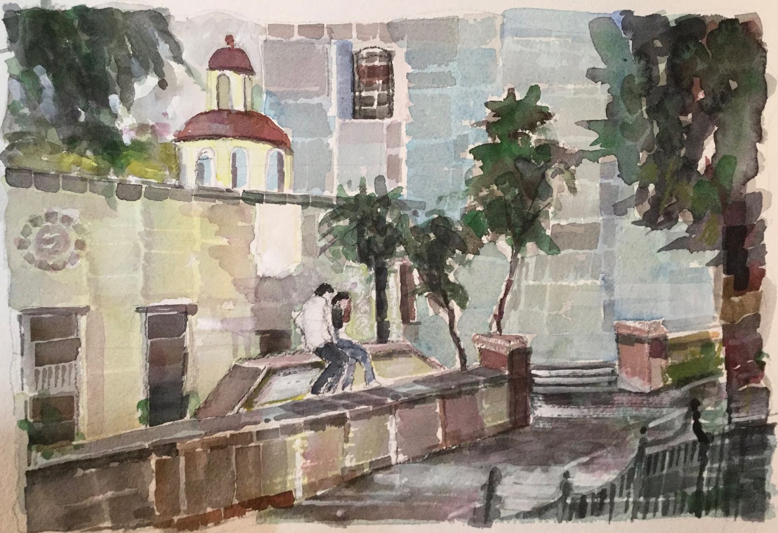
Watercolor; "The Lovers", Plaza Principal

Pozosoffers us a wide variety of painting opportunities that include:

* townscapes & historic architecture (especially mines)
* garden scenes
* vast, breathtaking landscapes
* themes & studies


The heart of Pozos is la Plaza Principal, a classic, formal, garden-like space edged by freshly painted, one-and-two story buildings constructed in a pueblo-early Baroque style. Civic buildings, a hotel, a bed and breakfast, casas and assorted shops occupy the buildings surrounding this captivating plaza. From here, narrow cobbled streets arranged in a grid pattern extend to the nearby foothills. The immediate encompassing area was heavily mined; much of the structural remains of the mines -such as buttressed walls, aqueducts, casas and abandoned chapels are still in place, providing us with a plethora of authentic, historic views. Local entrepreneurs offer tours of the mines. 


Though a simple, quiet and relatively poor village, Pozos has a magical charm, a special quality for artists -and I believe it will prosper because of it special appeal and beauty. Ample lodging and restaurants provide you with a comfortable stay. Pozos is accessible by frequent bus service from Queretaro, Dolores Hidalgo, Guanajuato and San Luis Potosí. A few small hotels, posadas(inns) and a several Beds & Breakfasts provide comfortable lodging.


It was in the 21stcentury when Pozos emerged from its birth -and into a deep slumber- when nearly abandoned (in the 20thcentury) a time when demand for, and deposits of, minerals faded away.  Pozos is a town built around mining, processing of minerals, companies supplying the industry and housing the miners.  As such, Pozos was planned with military-like efficiency, with nearly straight streets (calles) forming a grid pattern that cover a mesa(flat hill) in the middle of a valley.  The mesa’s two major ridges dip into the center providing an ideal location for the town’s center, an area of civic buildings, churches and shops.  The streets are narrow and edged with adobe walls; las callesare paved with cobble stones, an ideal surface for horse and mule-drawn carriages and carts. Though once nearly abandoned, Pozos is arising from its past with a steady restoration of its historic center and nearby mines.  Pozos is a small town with a population of approximately 7,000; it is an extraordinarily enchanting and romantic place but, being small, has limited socializing opportunities (which may not matter if you are with companions). 
    

Many of the original casas are now in ruins, intriguing ghosts of its past -and now a “living outdoor museum” where you’ll encounter flocks of sheep, ducks and vaqueros(cowboys) on horse-back coming down the narrow lanes. Our areas of interest for landscapes are in the historic center, el centro historico, and the roads that lace the nearby mountains, connecting the various mines. Let’s now explore the area, beginning in el centro historical ...


A thorough description of the beauty of Pozos can be found in my book.  

Thursday, March 28, 2019

Ajijic & Lake Chapala

In March of 2018, I spent nearly a week in the lakeside town of Ajijic, State of Jalisco, in west-central Mexico-to see if the area was as scenic as I had heard from many friends.  I was traveling with Rebecca, my companion, who had lived in Ajijic for many years. She was a knowledgable guide, not only of the town and surrounding countryside, but also of the many, vibrant restaurants, bars and art galleries  Staying in a small hotel in the central plaza, I passed the following days exploring the narrow, cobbled lanes, the lakeside and a scenic trail that leads to 10 Stations of the Cross on the fronting hill side.

A beautiful lakeside

Although not an official Pueblo Mágico, Ajijic aspired to be one, but was rejected.  My take is that Ajijic was "already" one; it was more sophisticated and prosperous than many true 'Mágicos'.

Ajijic has plenty of cafes, bars and restaurants 

As you know, I search for towns and places for their scenic beauty and ability to accommodate traveling artists.  Ajijic is such a place, especially with the lakeside elegance of the nearby town of Chapala, a place with a developed lakefront and upscale hotels.  Together, the two towns provide an infinite number of places and spaces from which to paint a wide variety of trophy landscapes.


Time allowing, I would definitely include these two lovely towns and their defining lakeside and backdrop mountains in a future book.  Not only is the scenery enchanting, but the wide variety of eating and drinking establishments will keep you satiated for your entire visit.  For English speakers, the Lake Chapala region has a large population of retirees from North America.


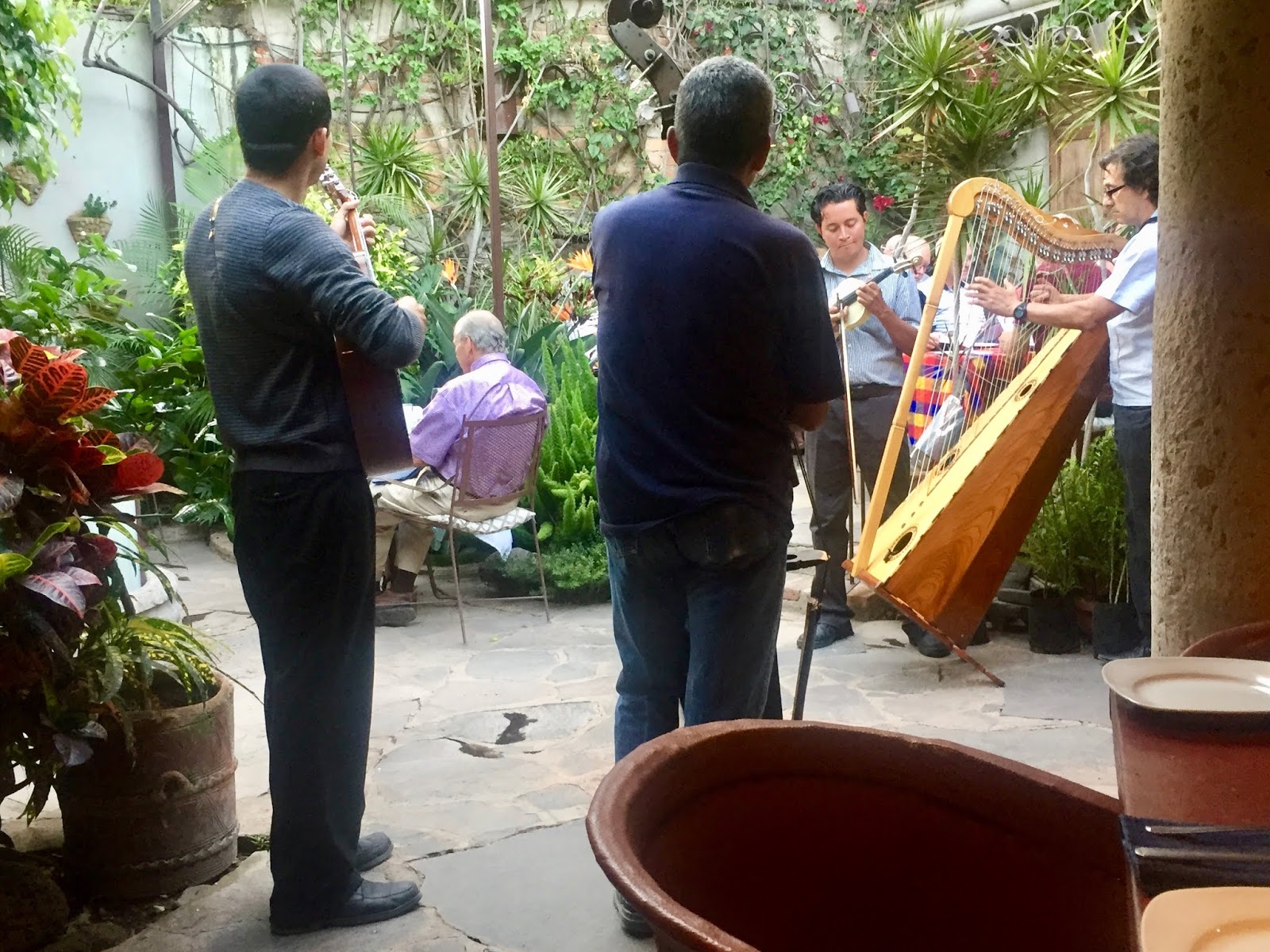
Food & music aplenty

Dozens of trophy landscapes

I also posted a more extensive album of 30 photographs of Ajijic on my Facebook Page: Painting Mexico's Magical Towns. Note that Lake Chapala was selected for water sports for a past Olympic event.

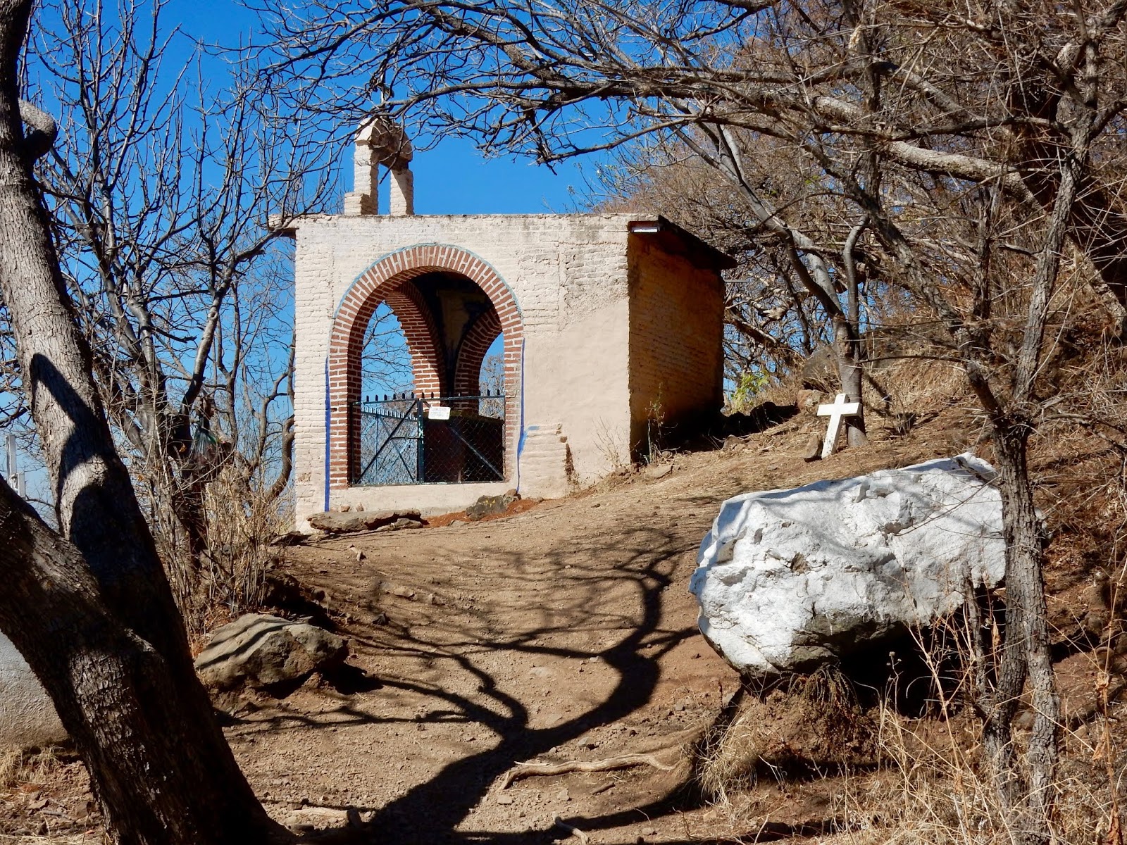
The chapel atop the trail, 10 Stations of the Cross.  This point overlooks the lake.

San Miguel´s “Globo” Skyscape J. K. Hannula San Miguel is routinely acclaimed as the world’s most beautiful -or “most livable” town/small...